Mt Evans

Evans Trip Report
Date: Sat, December 16
Hike: Mount Evans – 14,264 ft
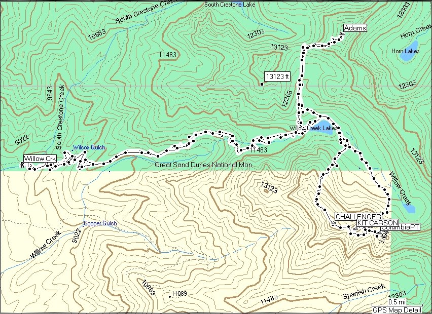
Route: Guanella Pass TH 11,669 feet
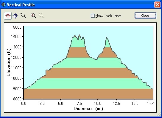
The hike is a Class 2 hike. Elevation gain 3,100 feet. Round trip 8.5 miles.
Weather Report:
Saturday: A 30 percent chance of snow, mainly after 11am. Mostly cloudy, with a high near 26. Wind chill values between -4 and 6. Windy, with a west wind 45 to 50 mph decreasing to between 30 and 35 mph. Winds could gust as high as 80 mph. New snow accumulation of less than a half inch possible.
The Report
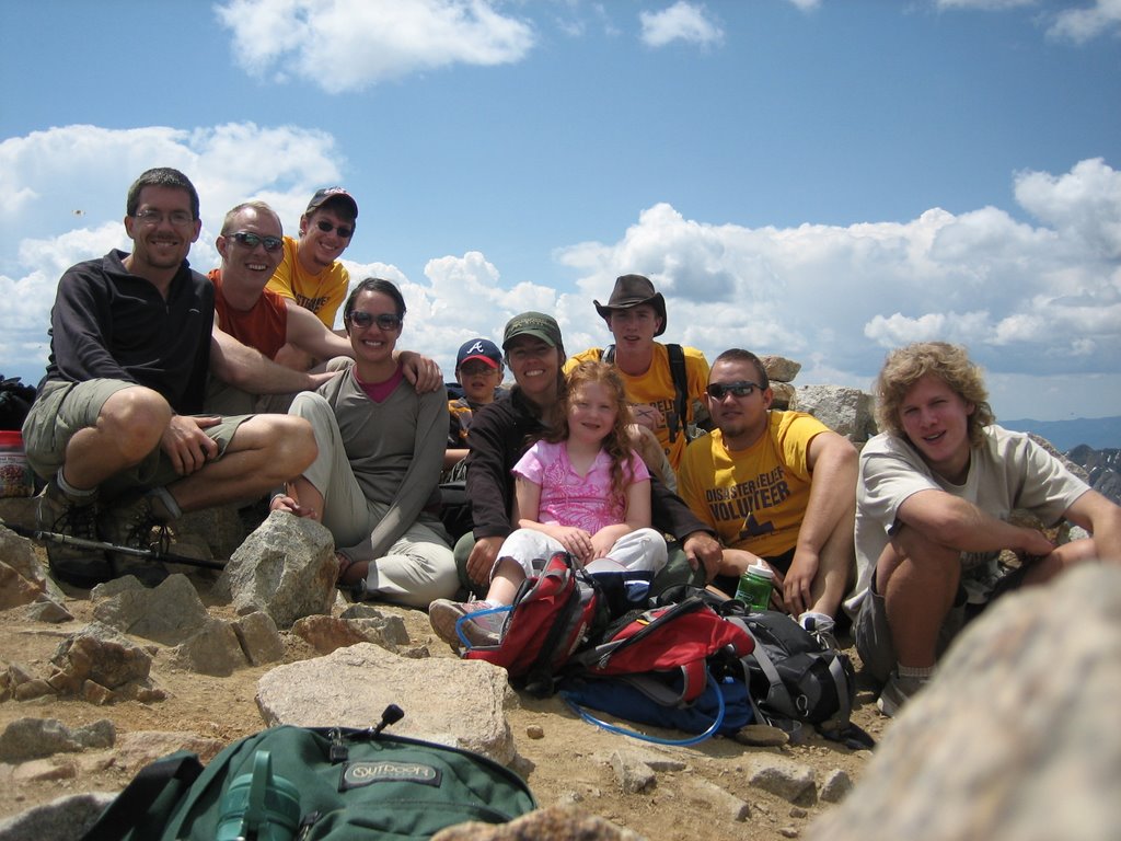
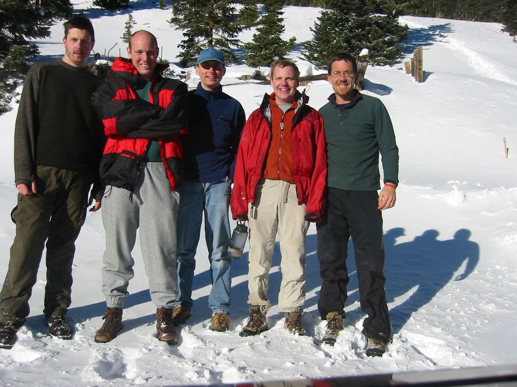
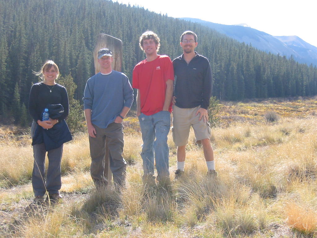
Wade Gardner, Scott Roberts, Russ Adelmann, and Jess Williams made up the crew. Everything was on time until we found out that the road was closed 2 miles short of the trailhead. We ended up leaving the vehicle at 6am and making the official trailhead at 7:20am, for an extra 800 feet of elevation gain.
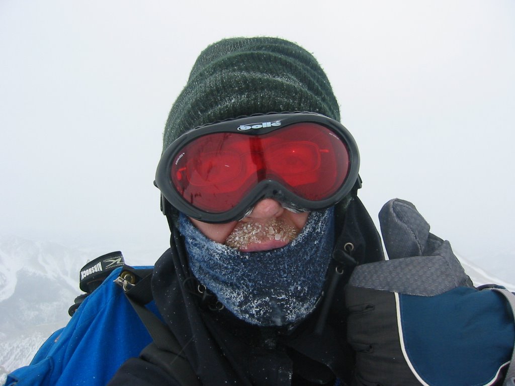
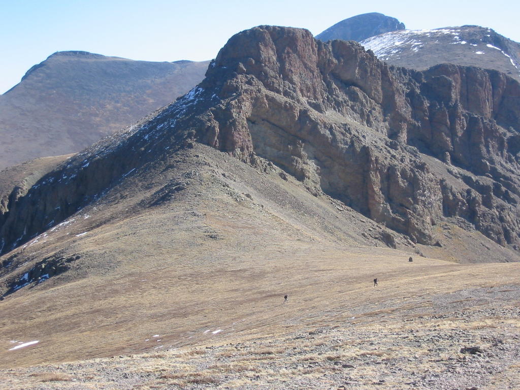
The trail was well packed until we split off towards Evans. Then we were basically making a new trail all the way to the “scree gully” that we ascended. Actually, we stayed to the left of the gully for quite a ways, avoiding the soft snow at the base of the gully. While the temp stayed in the high 20’s for most of the day, the wind was whipping up that gully!! (See the weather report above) It was cold! There were times when the wind was actually knocking me about 3 steps before I could regain my balance! Probably not a good day to be doing the sawtooth traverse. J
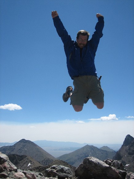
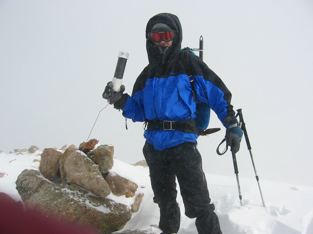
We reached the beginning of Evans West ridge (13900’) at 12:30pm. Scott and Russ decided to call it a day and head back. Jess and I pressed on, and finally made the summit at 1:10pm. On the way down, I took a small detour and picked up Mt Spalding (13,842’) as well. Jess and I met up at the top of the gully and headed for the truck.
We made trailhead at 5pm, and were back to the vehicle just before 6pm. Twelve hours in the mountains - life is good!
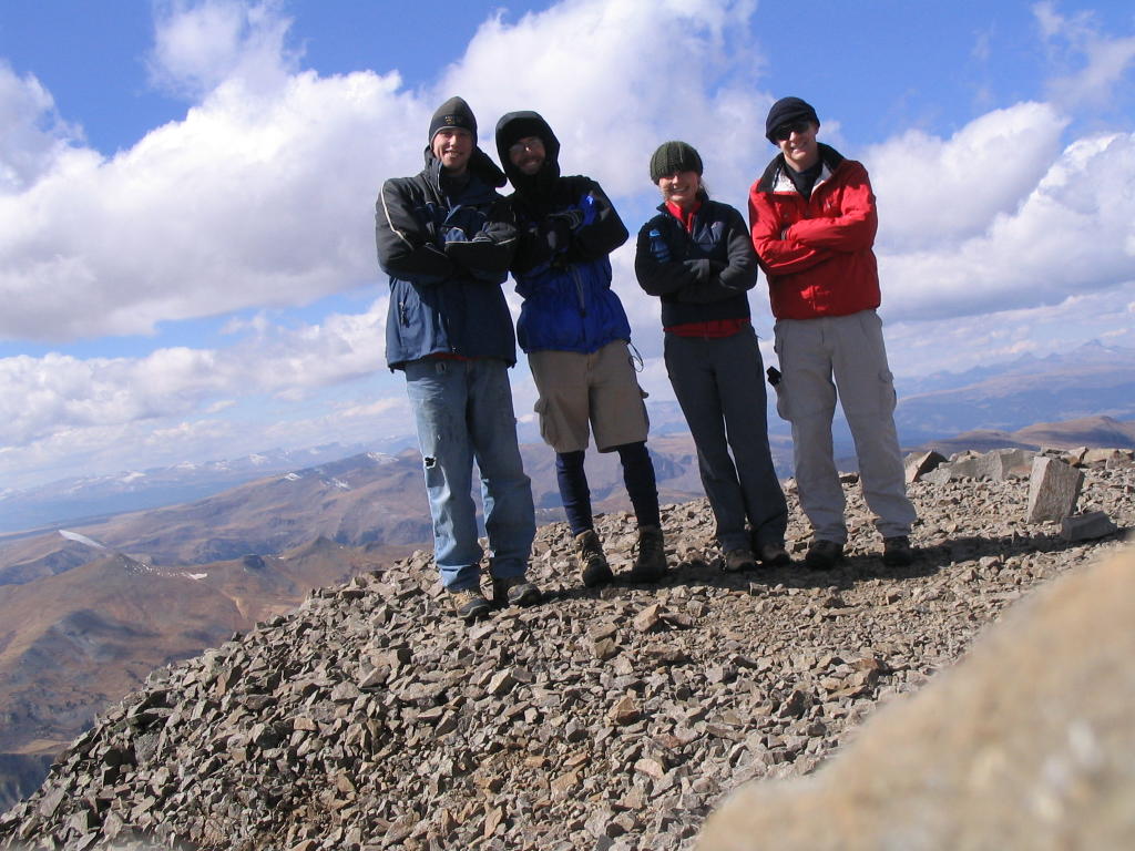
Visibility was great, and no sign at all of bad weather.
posted by Wade at 12/17/2006 03:57:00 PM
0 comments
![]()


